Claudius Ptolemaeus
Ptolemaeus auctus restitutus. Emaculatus. Cum tabulis veteribus ac nouis. Strasburgo 1520
The collection includes geographical works, atlases, travel literature and cartographic documents.
It was formed throughout the history of the library: the initial core of works collected by the founder Angelo Rocca
expanded considerably over the following centuries, particularly with the acquisition of the library collections of Lucas Holste and Domenico Passionei.
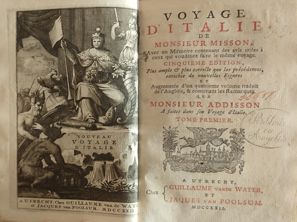
Holste’s interest in geographic studies is evidenced by the richness of the Geographi section of his library, much of which flowed into Angelica: there appear 16th- and 17th-century editions by ancient and modern authors, nautical atlases, travel collections and itineraries, often rich in autograph notes.
Even more numerous and valuable are the volumes from Passionei’s library: manuscript and printed specimens, often in rare editions, of atlases, travel books, itineraries and geographical works.
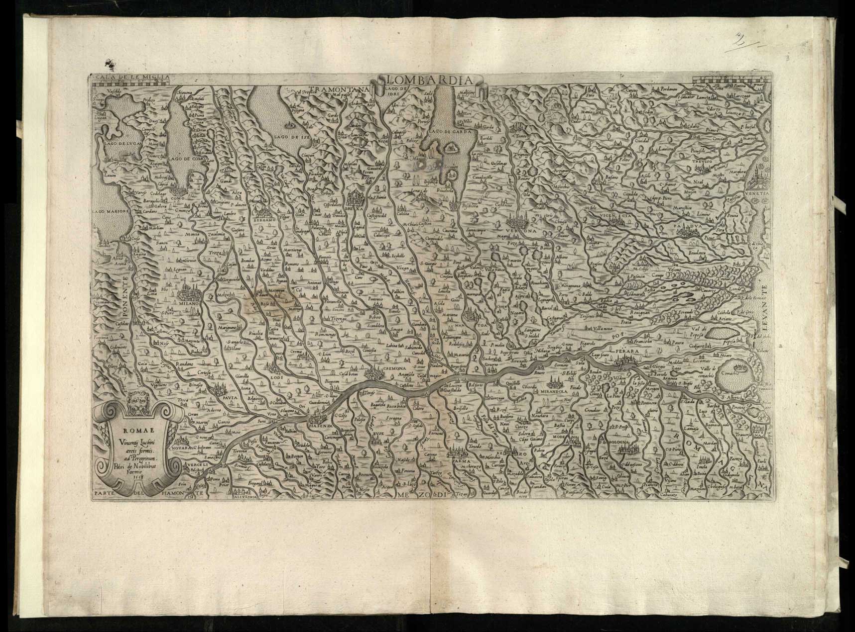
The cartographic collection, in addition to the large number of maps contained in the atlases and other volumes, includes 460 large-format maps in loose sheets, made between the 16th and 18th centuries. This collection includes 85 manuscript nautical charts, some of them unique, produced in Amsterdam in Gerard Van Keulen’s workshop in the early 18th century.
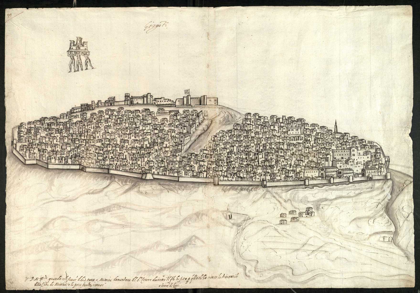
Also valuable is the collection of drawings of Italian cities made in the late 16th century, the result of a never-completed project by Angelo Rocca to compose a printed atlas of cities.
Lastly, two small collections of rare maps and city plans, mostly printed in Italy between the second half of the 16th century and the early years of the following century, should be noted.
Completing the bottom are two pairs of globes, terrestrial and celestial, by Willem Jansz Blaeu (1571-1638), very rare specimens.


